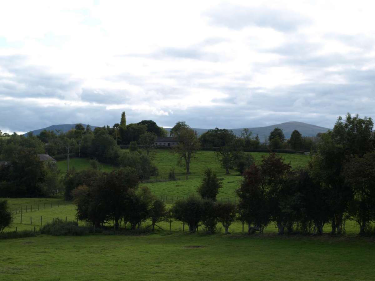
The Parish of Sebergham & Welton is a rural community located in the county of Cumbria, in the north-west of England. It lies just south of Carlisle, on the edge of the Lake District National Park, and is part of the historic county of Cumberland.
The parish includes the villages of Sebergham and Welton, as well as the smaller hamlets of Nether Welton, Churchtown, and Warnell. The area is characterised by rolling farmland, wooded valleys, and the scenic River Caldew, which flows through the heart of the parish.
The Parish Map shows the boundary and area administered by Sebergham & Welton Parish Council.
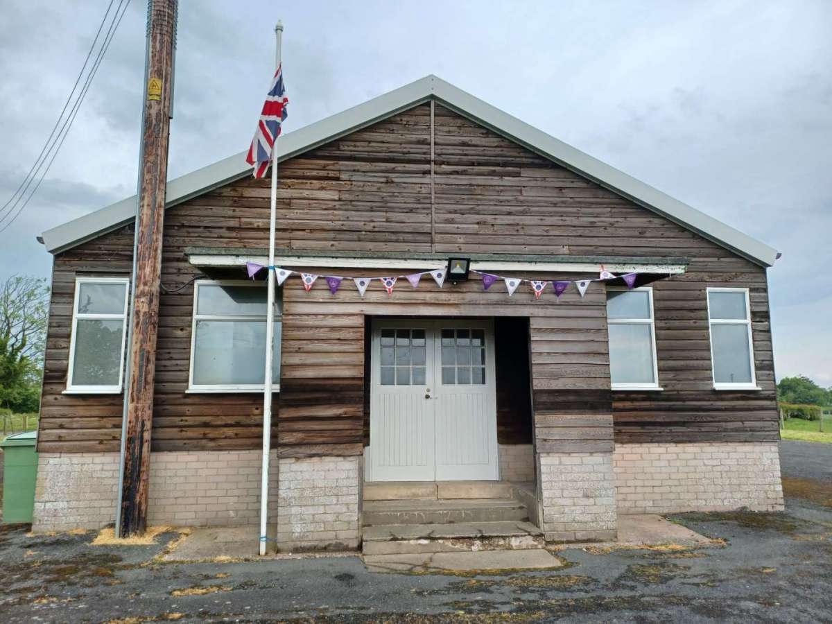
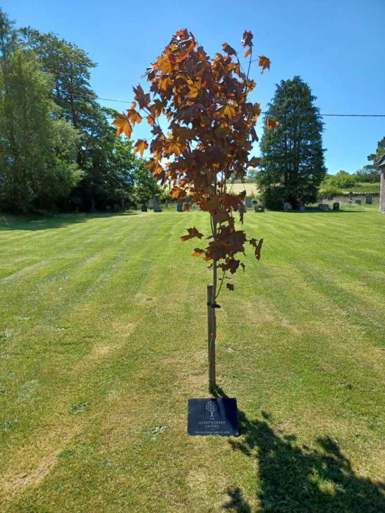
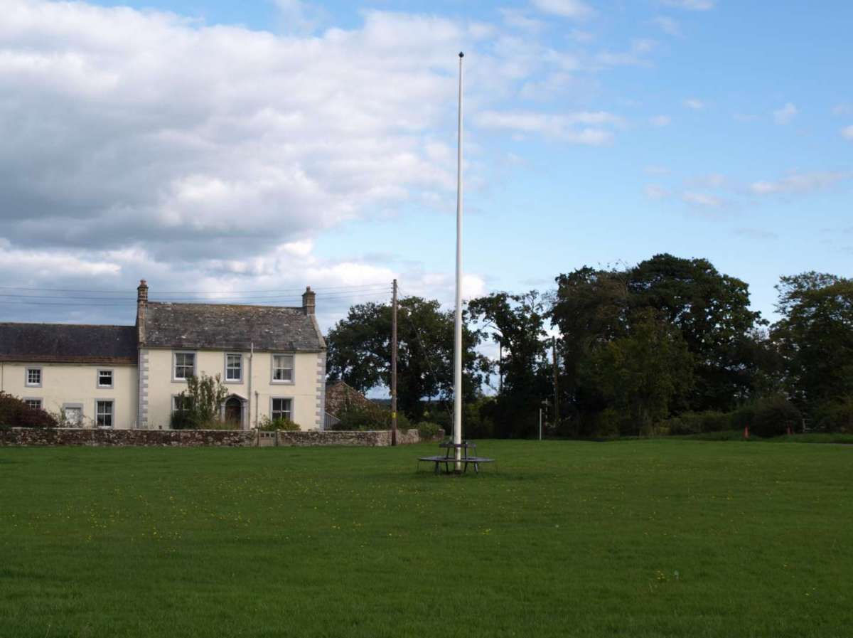
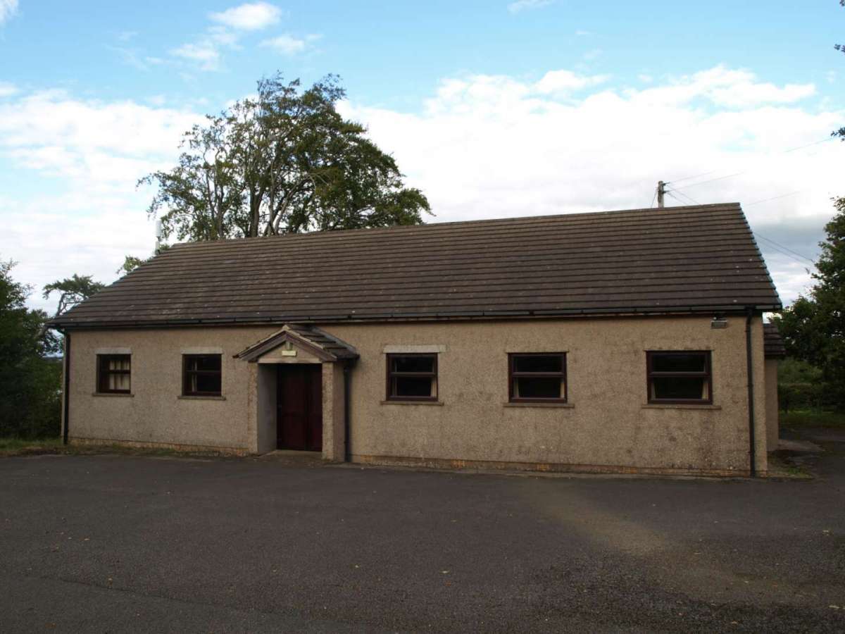
Local Features and Landmarks
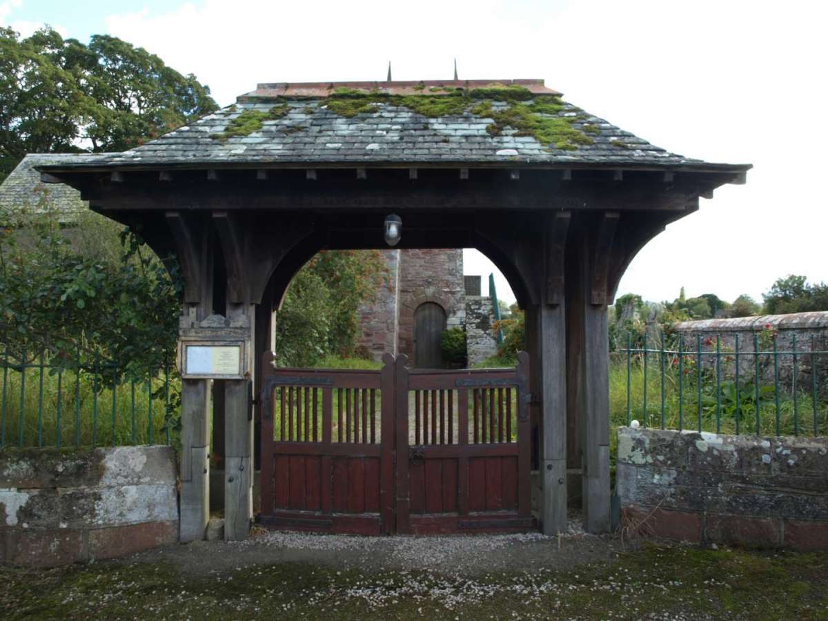
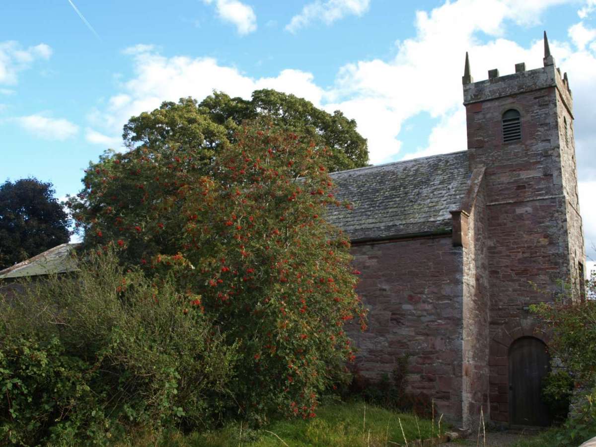
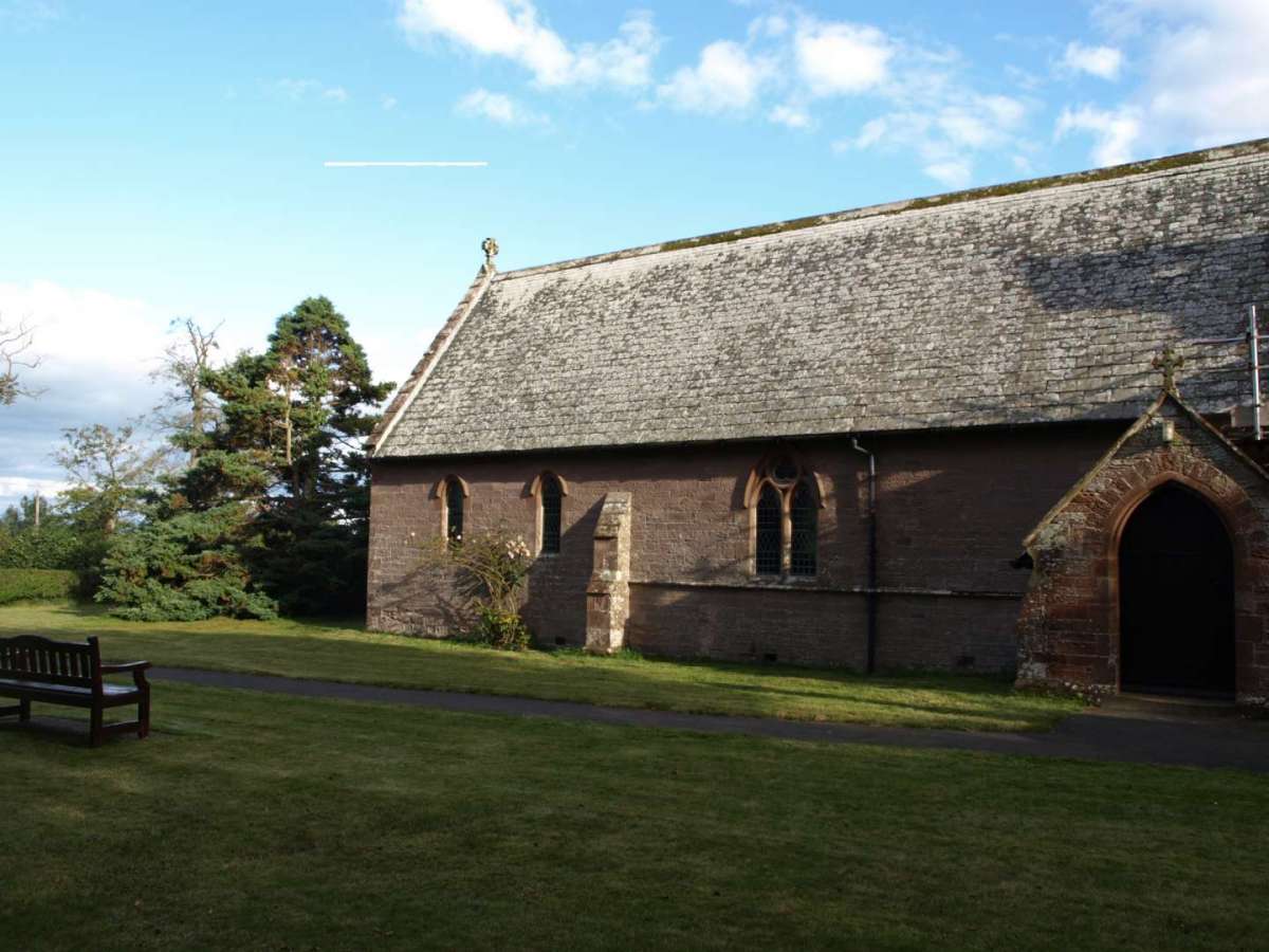
- St Mary’s Church, Sebergham – A Grade II* listed building with medieval origins, restored in the 19th century.
- St James’ Church, Welton – Built in 1874, this church adds to the parish’s rich ecclesiastical heritage.
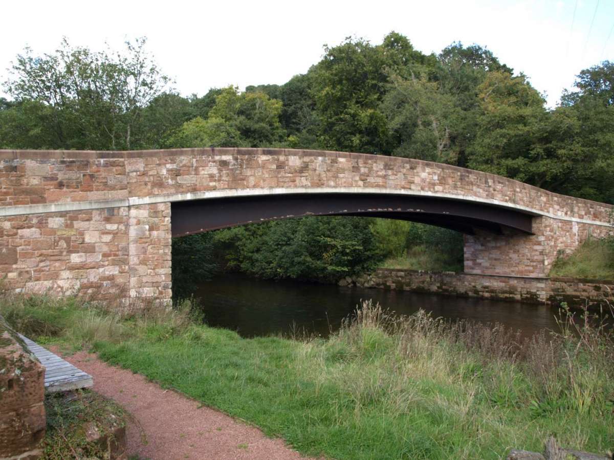
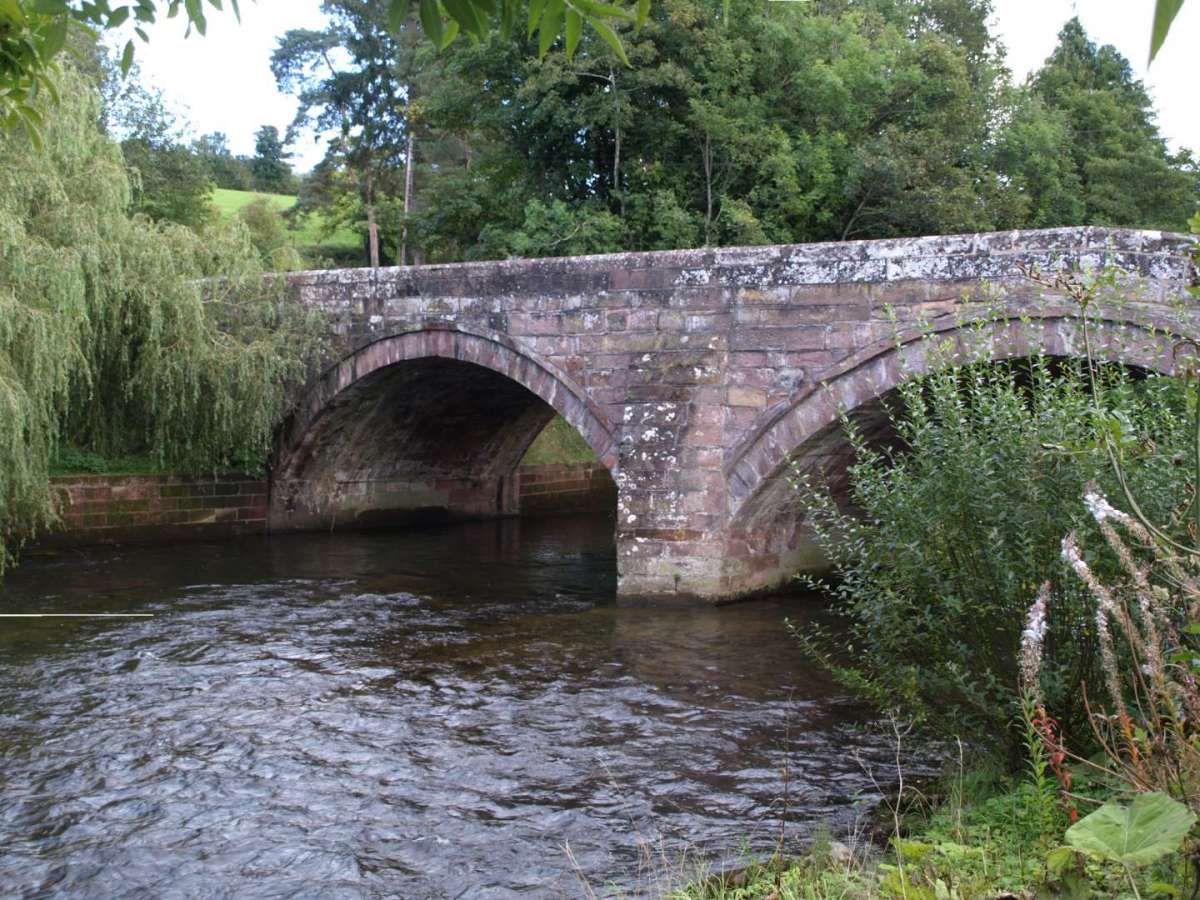
- Sebergham Bridge – Originally constructed in 1689, this historic bridge spans the River Caldew and is a listed structure.
- Bell Bridge – Rebuilt in 2017 after storm damage, it incorporates stone from the original 18th-century bridge.
- Sebergham Castle – A Gothic Revival farmhouse formerly known as Colerigg Hall.
- Warnell Hall – A fortified house that includes a 14th-century pele tower, reflecting the area’s medieval past.
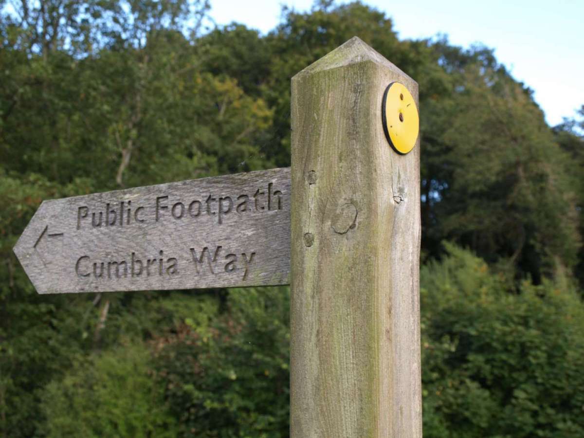
The parish is also popular with walkers and cyclists, with the Cumbria Way long-distance footpath passing through the area. The surrounding landscape offers stunning views of the Caldbeck Fells and access to the peaceful countryside of the Inglewood Forest and Solway Plain.